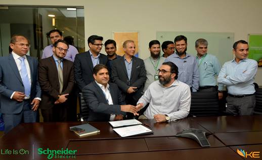
Schneider Electric Pakistan (Private) Limited, Karachi has introduced 1st time in Pakistan the GIS ArcFM (Geographic Information System) and have signed the Contract Agreement for its implementation with K-Electric Limited. GIS ArcFM is a highly resilient, consolidated work management solution that includes spatial asset management, network planning and analysis, operational awareness, field mobility and seamless integration with key enterprise systems in K-Electric.
Solution features:
Based on the industry-leading Esri ArcGIS® existing platform in K-Electric, EcoStruxure™ GIS ArcFM will provide configurable models and a set of sophisticated tools that make up a graphical, data-rich environment for managing K-Electric’s assets.
- Visualize, navigate and manage network assets in one reliable application i.e GIS Arc FM
- Easy customization as needed
- Selectable functionality extensions
- Scalability, from project GIS to enterprise spatial initiatives Maintenance
ArcFM is a custom app built on top of ESRI by Miner and Miner in early 90’s. It was later bought by Schnider Electric. It was built with Power, Water, and Gas utilities in mind so there are very specific tools built to handle those things. The logical network is built on top of ESRI’s geometric network that lets customers do instant tracing. They can click on a single wire or fuse on a pole and do an upstream or downstream trace and it will select all the wires, switches, transformers, etc. that are upstream or downstream from that spot, highlight them on the map, and select them for further reporting. It does this in a few seconds using the most up to date data about which switches or valves are open or closed.
It can trace up the wires from those call locations to see where they common wire or device is upstream of them and create an incident to send a crew on the map.